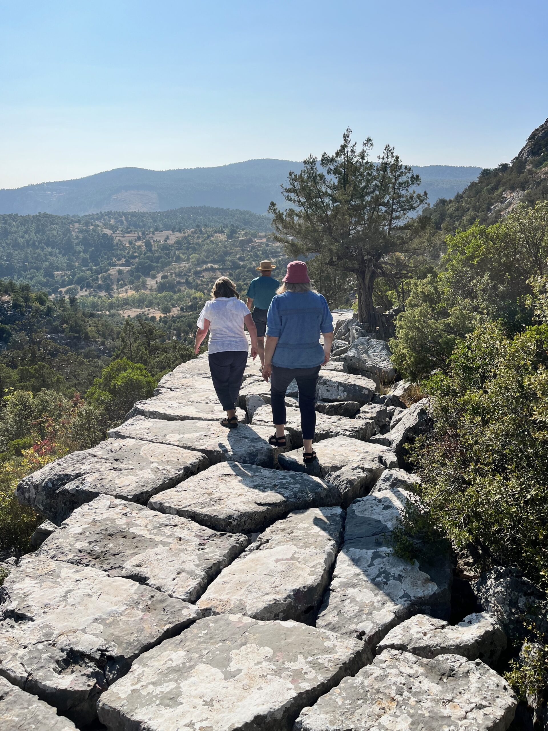
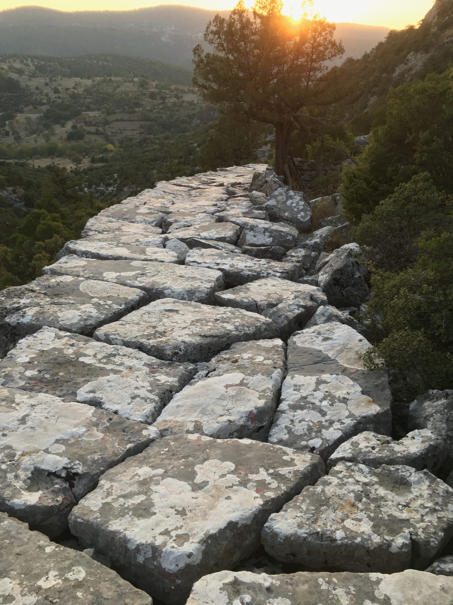
So Paul sets off. It is clear that without biblical texts outlining the journey in detail that we don’t know his exact route. Modern scholars reckon there are perhaps four possible routes that Paul may have travelled on but these ancient pavements give us a real idea of just what travelling was like for him. Here are some pics of one stretch of the trail that is particularly inspiring. It takes a bit of searching to find the new waymark red and white paint signs which lead steeply uphill to the now ruined city of Adada. There is still a flight of wide white rock steps that you can clamber up – your only companions sheep and goats and the occasional bird flying by. From the plain you walk up through a narrow valley where the original road paving slabs have tumbled down in successive earthquakes. But there are still smooth broad flag stones remaining in place. It is an amazing place to walk and imagine Paul climbing up and down before perhaps resting under a tree for a bit of shade or stopping for water.
The Taurus Mountains rise up steeply from the coast but Paul is undeterred by the prospect of crossing them. He is determined to get walking on the tough, steep terrain through the canyons and over the peaks to Pisidian Antioch. Why does he make this strange travel plan? For centuries no-one really knew what lay behind this decision as the bible narrative does not give his reasoning. But an archaeological find, early in the 1900’s, in the city at the end of his journey, may shed some light on this for us. A detailed stone inscription will give us a very interesting link between where Paul has just been and where he was planning on going. Read more next time…..